Ground Penetrating Radar applications span across various industries and professions. It provides versatile and reliable results that can serve several purposes, such as structural assessment, environmental, utility locating, and more.
The GPR scanning system is coupled with mapping and Global Positioning System (GPS) technology, 3D imaging, and calibration techniques. Concrete Insight provides high-end concrete scanning, coring, and testing services and deals in GPR systems that are designed to be customized to the users’ unique project requirements.
So, in this blog, we will talk about two popular applications of GPR scanning in DC – Environmental and Utility Location. Let’s begin!
Structural Assessment ApplicationsVarious GPR frequencies are used to determine damage and integrity at several resolutions in structural assessment projects. For instance, for the lower depth, you need lower frequencies and higher frequencies to analyze higher resolutions.
To make sure your GPR scanning gives precise outcomes, utilizing a combination of frequencies is recommended.This will lead to excellent resolution with depth detail.
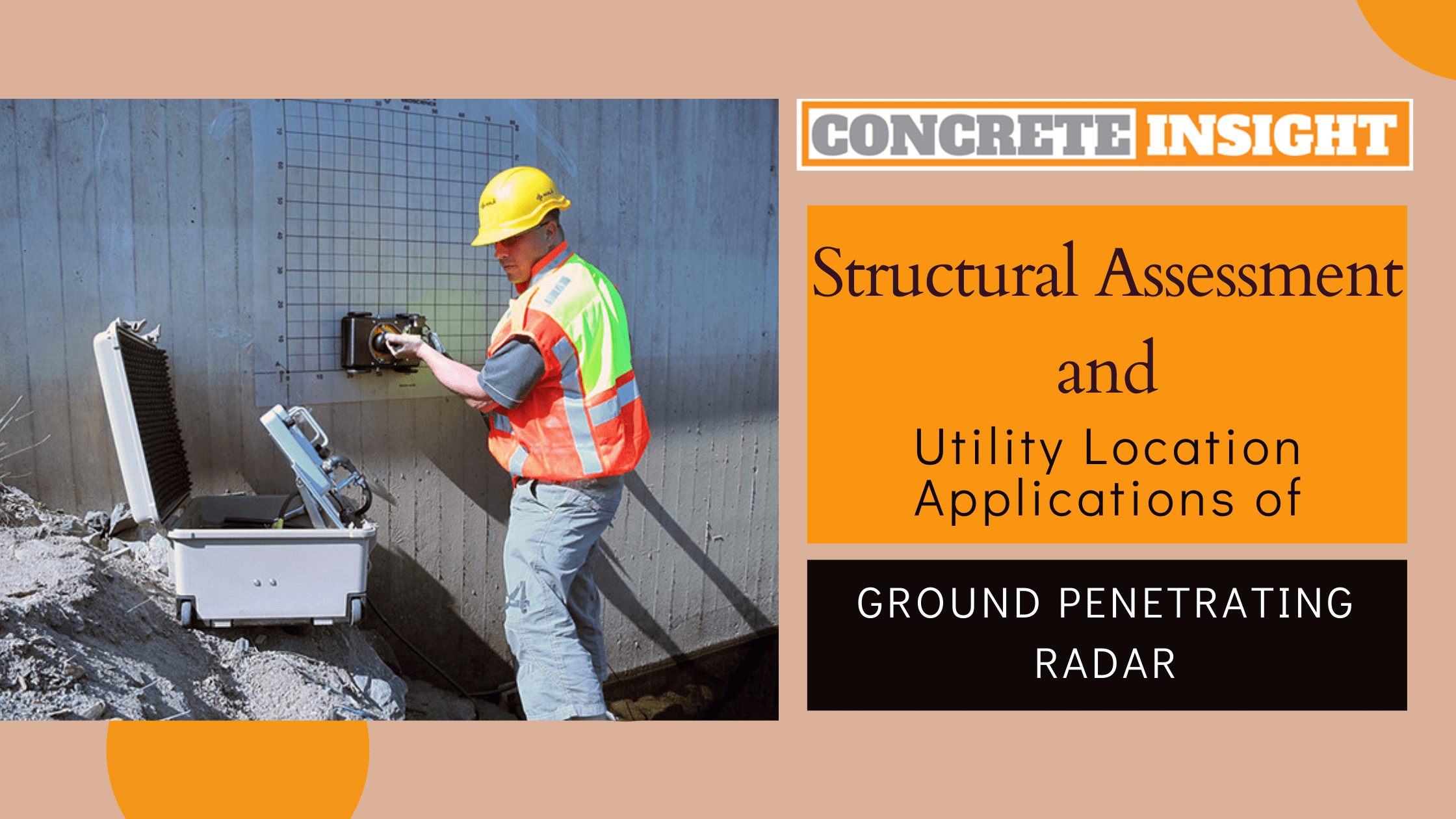
Concrete ScanningEngineers involved in concrete coring and drilling processes often use GPR scanning to identify and locate voids, rebars, PT cables, slab thickness, and conduits. Using this advanced technology results in higher resolution results with the additional benefit of greater scan depths. This allows engineers to see deeper concrete layers, providing them with extensive structural assessment and helping identify any issues.
Bridge Dec AssessmentGround penetration radar scanning is one of the fastest and non-destructive methods to assess bridge decks. In addition, it helps determine damages that need urgent attention.
Concrete deterioration can be observed with high-frequency scans. Without GPR, engineers don’t understand where to begin drilling or coring. GPR visualizes the degradation of the specific areas.
Additional Benefits: GPR can be used to locate- Cracking
- Concrete sparling
- Asphalt layer thickness
- Reinforcing
- Wall thickness
GPR scanning is used to identify conductive and non-conductive materials with any digging or excavation. The scanning frequencies and signals can withstand multiple soil conditions.
GPR scanning streamlines the utility locating processGPR is a versatile method that allows engineers and contractors to collect rich-quality images. The results can be shared with various people involved in the project, helping experts make a reliable decision.
Solving deep-rooted utility locating problemsThe contractors know the difficulty of navigating through decades-old infrastructure. GPR scanning helps them by
- Operating across several terrains and soil condition
- Recording visuals with 3D imaging and mapping abilities
- Translating findings into information
As GPR offers a holistic view of the subsurface, it contributes to damage prevention assurance to a variety of infrastructure and maintenance projects.
Here is the list of some of the utilities that ground penetrating radar can locate:
- Plastic or PVC
- Metal pipe
- Conduit
- Abandoned lines
- Clay pipe
- Illegal connection
- Waste water
- Telecommunication wire
- Power
- Gas
- Manholes
- Concrete pipe
- Missing valves
- Septic tanks
- Transite pipe
Other applications where ground penetrating radar can be used include archaeological survey, geotechnical, grave location & cemetery mapping, and forensic investigation.
Comments