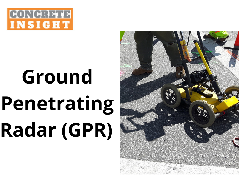
Snippet - A Ground Penetrating Radar (GPR) scanning helps to locate the underground utilities without disturbing the ground surface. Let’s what applications of Ground Penetrating Radar (GPR) are.
Ground Penetrating Radar (GPR) scanning works on the geophysical locating method that uses radio frequencies to capture underground images in a minimalistic way. The topmost advantage of GPR scanning is that it enables the crews to find out the location of underground resources without digging it.
It is possible to conduct
concrete scanning with GPR without disturbing the ground. Let us see what are the other applications of GPR apart from concrete scanning.
Construction
GPR scanning is pre-eminently used in the construction and engineering space. Being a non-destructive type of scanning, GPR scanning is a quick, secure, and efficient scanning method.
GPR scanning is used to detect hindrance in the concrete caused due to rebar or underground cable. To cut short, with the help of GPR scanning, engineers can avoid the underground roadblocks and ensure minimum damage.
Measure the underground water content
Water is essential for a living being to sustain itself on this planet. But, it is scarce and needs to be preserved for future generations. Measuring the underground water content is the differentiating application of GPR other than
concrete coring and concrete scanning.
Bedrock mapping
Bedrock mapping is useful for planning various projects such as construction, drilling, or well installation. GPS is the accurate method to map shallow bedrock because it allows fast data transmission.
Armed forces
GPS scanning is also helpful for the defense forces. For example, it helps to detect unexploded items like mine bombs, and it also helps to detect and map underground tunnels. Armed forces use GPR scanning to keep a country safe within the borders.
Archaeological usage
GPR scanning is also beneficial for archaeological purposes because excavating and sampling are time-consuming and costly. GPR scanning is used to determine the best location, identify subsurface objects and their locations, and map the entire site.
The data collected via GPR scanning is important for archaeologists because it helps speed up the process record and interpreting the data of an interesting site.
The major benefit of GPR scanning is its non-destructive nature of testing, especially on the dig sites where preservation of objects on the subsurface is integral because GPR allows seeing the exact location and depth of targets in a safe manner.
Forensics
The use of GPR scanning is a very interesting phenomenon. GPR scanning is used to identify the buried evidence. GPR scanning helps save time and costs for the investigation personnel; GPR scanning narrows down the excavation zones by surveying the large areas within less time.
Conclusion
Since GPR scanning is widely used for various functions, it has become widely adopted for underground scanning purposes. Concrete Insight is one of the best GPR scanning service providers and an expert
core drilling company in Maryland. Choose Concrete Insight which offers you expertise along with scalability.
Comments